Travel Guide of Ko Mak in Thailand by Influencers and Travelers
Ko Mak is a small island of Trat province, Thailand. It is a subdistrict of Ko Kut district. The island is named after the areca nut, also known as the "betel nut".
Download the Travel Map of Thailand on Google Maps here
Pictures and Stories of Ko Mak from Influencers
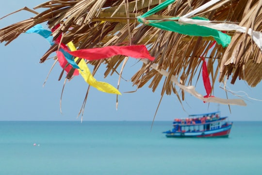
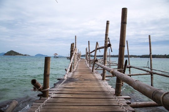
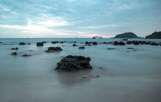
5 pictures of Ko Mak from Katja Grasinger, Robert Metz, Milada Vigerova and other travelers

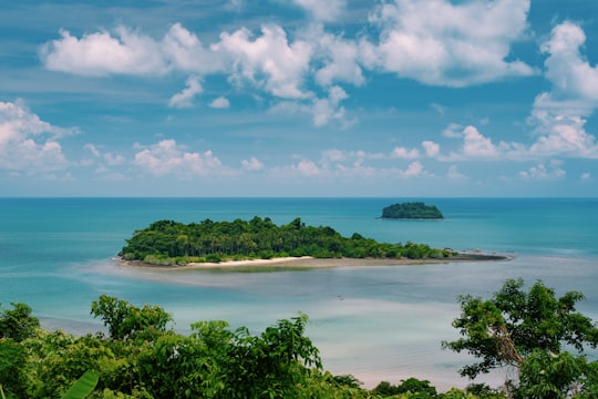
- I took this photo off the coast of Koh Mak. ...click to read more
- Experienced by @Robert Metz | ©Unsplash

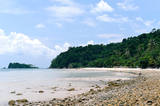
- Life is good at the beach ...click to read more
- Experienced by @Katja Grasinger | ©Unsplash
Plan your trip in Ko Mak with AI 🤖 🗺
Roadtrips.ai is a AI powered trip planner that you can use to generate a customized trip itinerary for any destination in Thailand in just one clickJust write your activities preferences, budget and number of days travelling and our artificial intelligence will do the rest for you
👉 Use the AI Trip Planner
The Best Things to Do and Visit around Ko Mak
Disover the best Instagram Spots around Ko Mak here
1 - Ko Rang
11 km away
Ko Rang is an island in the southwestern part of the Ko Chang archipelago on the southeastern edge of the Gulf of Thailand. The island rises up out of 60m of water in most places and has few beaches.
View on Google Maps Book this experience
2 - Ko Wai
12 km away
Ko Wai is a small island in Ko Chang Archipelago, Trat Province, eastern Thailand. The island has nice views over the other islands in the vicinity.
View on Google Maps Book this experience
3 - Ko Kut
20 km away
Koh Kood, also known as Ko Kut, is an island in the Gulf of Thailand. The island is administrated as part of the Ko Kut District in Thailand's Trat Province.
Learn more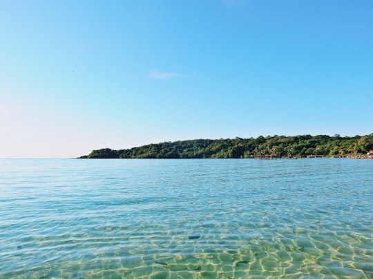

4 - Hat Klong Prao beach
30 km away
Learn more
5 - Koh Chang
43 km away
Ko Chang is an amphoe in Trat Province, Thailand. It is on the Gulf of Thailand's eastern seaboard, 300 km from Bangkok, near the border with Cambodia. The island Ko Chang occupies most of the district's land area, along with several smaller islands.
Learn more
Book Tours and Activities in Ko Mak
Discover the best tours and activities around Ko Mak, Thailand and book your travel experience today with our booking partners
Where to Stay near Ko Mak
Discover the best hotels around Ko Mak, Thailand and book your stay today with our booking partner booking.com
More Travel spots to explore around Ko Mak
Click on the pictures to learn more about the places and to get directions
Discover more travel spots to explore around Ko Mak
🏖️ Beach spots 🚢 Pier spots 🌴 Tropics spots 🤿 Underwater spotsTravel map of Ko Mak
Explore popular touristic places around Ko Mak
Download On Google Maps 🗺️📲
